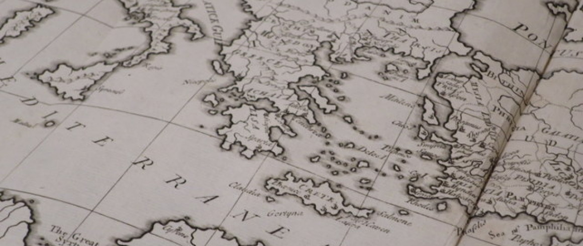
Library receives maps of the Holy Land
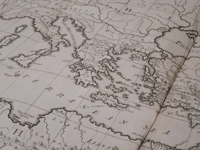
Earlier this month, the Revd. J.C. Finnemore (1978) gave the College a collection of eighteenth century maps depicting the geography of the Holy Land.
He found the six maps inside a copy of The Book of Common Prayer, which a parishioner left to him. He was also given three volumes of Hewlett’s Holy Bible (1812) and asked to find a good home for the small collection.
Our librarian, Pat Aske, began researching the provenance of the loose maps and discovered that they originally came from a volume entitled Sacred Geography Contained in Six Maps. The cartographer was John Senex, an engraver and seller of maps and globes in London.
Senex was one of the leading cartographers of the eighteenth century. The son of a Shropshire gentleman, he started his apprenticeship to Robert Clavell of the Stationers' Company in 1695, so he was probably born in around 1680. He died at his London home in 1740.
The Holy Land has been the subject of a relatively large number of maps, chiefly due to its religious importance; these maps were often used to illustrate the Holy Scriptures.
Both the maps and the book in which they were found are in need of conservation. While we decide what to do with the books, four of the six maps will be on display in J staircase throughout August.
[gallery columns="4" ids="15563,15564,15565,15566"]